Ute Park
Census-designated place in Colfax County, New Mexico
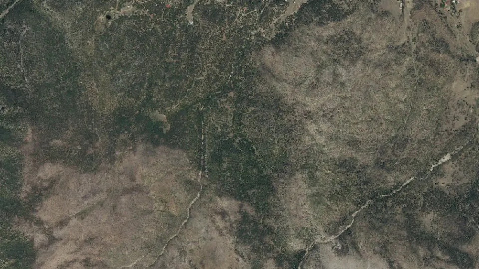
Ute Park is an unincorporated community (census-designated place) in Colfax County, New Mexico, with 63 residents (2020 Census). It sits at 7,411 ft (2,259 m) above sea level. The nearest town is Eagle Nest, 8.7 miles W.
- 63residents (2020 Census)
- 7,411 ftelevation · 2,259 m
- 3.4 sq miland area · 8.8 km²
- 19 / sq mipopulation density
- 87749ZIP code
About Ute Park
Ute Park is an unincorporated community and census-designated place in Colfax County, New Mexico, United States. As of the 2020 census, Ute Park had a population of 63. It was formerly part of the Maxwell Land Grant.
Ute Park lies on U.S. Route 64 between Cimarron and Eagle Nest, just east of Cimarron Canyon State Park.
In 1921, the Guide to New Mexico described it as:
Ute Park was named for the Ute Indians, who lived on the east slope of near-by Mt. Baldy. The rebellious Ute resisted their white oppressors, and an Indian Agency and military force were maintained at Cimarron to keep them subdued, until they were finally moved to a reservation in southern Colorado and Utah. The village of Ute Park, opposite the mouth of Ute Creek, is the terminus of an A.T.&S.F. railway branch and is a distributing point for freight for the Moreno Valley, Red River and Taos.
The St. Louis, Rocky Mountain and Pacific Railway abandoned the Ute Park branch circa 1942. Portions of the right of way are still visible, but most railroad structures have been removed.
Text: Wikipedia · CC BY-SA 4.0
Ute Park weather: 7-day forecast
Loading the National Weather Service forecast…
Source: National Weather Service (NOAA).
Live webcams in Ute Park
Webcams: Windy.com
Do you know Ute Park? Tell us about it
Help other travelers: share what makes Ute Park special. We review every message before publishing it.
Map of Ute Park
Tap any street on the map to see it in Street View below. Map: © OpenStreetMap contributors.
Ute Park Street View
Drag the image to look around and tap the arrows on the ground to move. If it says there is no imagery, tap a nearby street on the map above.
Open in Google Maps ›Ute Park, NM population
Ute Park had 63 residents in the 2020 Census.
| 2020 Census | 63 |
|---|---|
| Density | 19 per sq mi (7 per km²) |
Source: U.S. Census Bureau, Decennial Census.
Ute Park at a glance
| State | New Mexico (NM) |
|---|---|
| County | Colfax County |
| Type | Census-designated place |
| Population | 63 (2020) |
| Land area | 3.40 sq mi (8.8 km²) |
| Elevation | 7,411 ft (2,259 m) |
| Coordinates | 36.5467° N, 105.1038° W |
| ZIP code | 87749 |
| Census code (GEOID) | 3581450 |
Sources: U.S. Census Bureau (Gazetteer, ZCTA), USGS GNIS, Wikidata.
Towns near Ute Park
- Eagle Nest8.7 mi W
- Cimarron11.2 mi E
- Angel Fire14.5 mi SW
- Taos Ski Valley18.7 mi W
- Red River20.8 mi NW
- Taos Pueblo26.1 mi W
- Arroyo Seco26.8 mi W
- Taos28.7 mi SW
- San Cristobal29.6 mi W
- Questa30.1 mi W
- Ranchos de Taos30.5 mi SW
- Springer30.7 mi SE
Straight-line distance between town centers.
Frequently asked questions about Ute Park
What county is Ute Park in?
Ute Park is in Colfax County, New Mexico.
What is the population of Ute Park, NM?
63 people lived in Ute Park at the 2020 Census.
What is the ZIP code of Ute Park, NM?
The ZIP code of Ute Park is 87749.
What is the elevation of Ute Park?
7,411 feet (2,259 m) above sea level.
What towns are near Ute Park?
Eagle Nest (8.7 mi), Cimarron (11.2 mi), Angel Fire (14.5 mi), Taos Ski Valley (18.7 mi), Red River (20.8 mi).
Last updated: