Cascades
Census-designated place in Loudoun County, Virginia
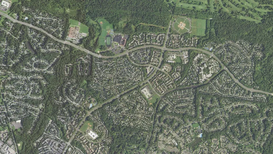
Cascades is an unincorporated community (census-designated place) in Loudoun County, Virginia, with 12,366 residents (2020 Census). The nearest town is Sugarland Run, 1.4 miles SE.
- 12,366residents (2020 Census)
- 3.7 sq miland area · 9.5 km²
- 3,355 / sq mipopulation density
- 20165ZIP code
About Cascades
Cascades is a census-designated place (CDP) in Loudoun County, Virginia, United States. As of the 2020 census, Cascades had a population of 12,366. Along with nearby Countryside and Lowes Island, it is considered one of the three main components of the Potomac Falls community (ZIP code 20165) within Sterling.
Cascades is a planned community of 2,500 acres (1,000 ha) with approximately 6,500 homes. The corresponding homeowners association was incorporated on November 8, 1990. As in nearby Sterling Park, prior to the establishment of the Cascades community in 1990 the area was made up of a few very large farms. The homeowners association maintains five community centers, five swimming pools, 15 tennis courts, and other amenities including extensive paved walking trails. The Lowes Island at Cascades community (commonly referred to as Lowes Island) is an advertised portion of the legal subdivision of Cascades, but is not a legal subdivision itself. The Lowes Island community is centered on Trump National Golf Club Washington, D.C., formerly Lowes Island Country Club. The Cascades development is bordered on the north by the Potomack Lake Sportsplex and Algonkian Regional Park (which abuts the Potomac River); both facilities are included in the Cascades census-designated place. The name "Cascades" alludes to the rapidly descending flow along the Potomac River starting at Lowes Island and leading to Great Falls.
Text: Wikipedia · CC BY-SA 4.0
Cascades weather: 7-day forecast
Loading the National Weather Service forecast…
Source: National Weather Service (NOAA).
Live webcams in Cascades
Webcams: Windy.com
Living in Cascades
- Median household income
- $167,171
- Median home value
- $671,100
- Median rent
- $2,657/mo
- Median age
- 39
Do you know Cascades? Tell us about it
Help other travelers: share what makes Cascades special. We review every message before publishing it.
Map of Cascades
Tap any street on the map to see it in Street View below. Map: © OpenStreetMap contributors.
Cascades Street View
Drag the image to look around and tap the arrows on the ground to move. If it says there is no imagery, tap a nearby street on the map above.
Open in Google Maps ›Cascades, VA population
Cascades had 12,366 residents in the 2020 Census.
| 2020 Census | 12,366 |
|---|---|
| Density | 3,355 per sq mi (1,295 per km²) |
Source: U.S. Census Bureau, Decennial Census.
Cascades at a glance
| State | Virginia (VA) |
|---|---|
| County | Loudoun County |
| Type | Census-designated place |
| Population | 12,366 (2020) |
| Land area | 3.69 sq mi (9.5 km²) |
| Water area | 0.06 sq mi (0.16 km²) |
| Coordinates | 39.0471° N, 77.3875° W |
| ZIP code | 20165 |
| Official website | cascadesva.com |
| Census code (GEOID) | 5113403 |
Sources: U.S. Census Bureau (Gazetteer, ZCTA), USGS GNIS, Wikidata.
Towns near Cascades
- Sugarland Run1.4 mi SE
- Countryside1.4 mi W
- Lowes Island1.8 mi E
- Dulles Town Center2.1 mi SW
- Kincora2.7 mi W
- Sterling3.1 mi S
- University Center3.3 mi W
- Dranesville3.6 mi S
- One Loudoun3.6 mi W
- Ashburn4.6 mi W
- Oak Grove4.7 mi S
- Darnestown, MD5.0 mi NE
Straight-line distance between town centers.
Frequently asked questions about Cascades
What county is Cascades in?
Cascades is in Loudoun County, Virginia.
What is the population of Cascades, VA?
12,366 people lived in Cascades at the 2020 Census.
What is the ZIP code of Cascades, VA?
The ZIP code of Cascades is 20165.
What towns are near Cascades?
Sugarland Run (1.4 mi), Countryside (1.4 mi), Lowes Island (1.8 mi), Dulles Town Center (2.1 mi), Kincora (2.7 mi).
Last updated: