Elias-Fela Solis
Census-designated place in Starr County, Texas
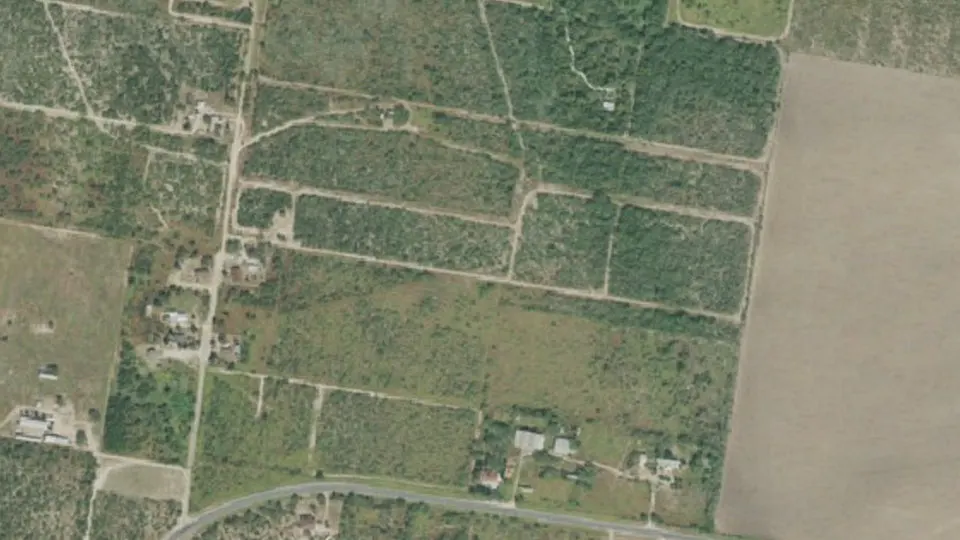
Elias-Fela Solis is an unincorporated community (census-designated place) in Starr County, Texas, with 17 residents (2020 Census). The nearest town is Eugenio Saenz, 2.0 miles S.
- 17residents (2020 Census)
- 0.2 sq miland area · 0.6 km²
- 72 / sq mipopulation density
- 78595ZIP code
About Elias-Fela Solis
Elias-Fela Solis is a census-designated place (CDP) in Starr County, Texas, United States. As of the 2020 census, Elias-Fela Solis had a population of 17. It was a new CDP for the 2010 census.
Text: Wikipedia · CC BY-SA 4.0
Elias-Fela Solis weather: 7-day forecast
Loading the National Weather Service forecast…
Source: National Weather Service (NOAA).
Nearest webcams to Elias-Fela Solis
There are no webcams in Elias-Fela Solis itself. These are the closest, 34 miles away or more.
Webcams: Windy.com
Do you know Elias-Fela Solis? Tell us about it
Help other travelers: share what makes Elias-Fela Solis special. We review every message before publishing it.
Map of Elias-Fela Solis
Tap any street on the map to see it in Street View below. Map: © OpenStreetMap contributors.
Elias-Fela Solis Street View
Drag the image to look around and tap the arrows on the ground to move. If it says there is no imagery, tap a nearby street on the map above.
Open in Google Maps ›Elias-Fela Solis, TX population
Elias-Fela Solis had 17 residents in the 2020 Census.
| 2020 Census | 17 |
|---|---|
| Density | 72 per sq mi (28 per km²) |
Source: U.S. Census Bureau, Decennial Census.
Elias-Fela Solis at a glance
| State | Texas (TX) |
|---|---|
| County | Starr County |
| Type | Census-designated place |
| Population | 17 (2020) |
| Land area | 0.24 sq mi (0.6 km²) |
| Water area | 0.01 sq mi (0.02 km²) |
| Coordinates | 26.3854° N, 98.6220° W |
| ZIP code | 78595 |
| Census code (GEOID) | 4823062 |
Sources: U.S. Census Bureau (Gazetteer, ZCTA), USGS GNIS, Wikidata.
Towns near Elias-Fela Solis
- Eugenio Saenz2.0 mi S
- La Victoria2.6 mi S
- Gutierrez3.2 mi S
- El Socio3.2 mi S
- Olmito and Olmito3.4 mi S
- El Castillo3.6 mi S
- Zarate4.6 mi S
- La Paloma Ranchettes4.9 mi S
- Mikes4.9 mi S
- Alto Bonito Heights5.0 mi S
- Valle Vista5.2 mi S
- E. Lopez5.4 mi S
Straight-line distance between town centers.
Frequently asked questions about Elias-Fela Solis
What county is Elias-Fela Solis in?
Elias-Fela Solis is in Starr County, Texas.
What is the population of Elias-Fela Solis, TX?
17 people lived in Elias-Fela Solis at the 2020 Census.
What is the ZIP code of Elias-Fela Solis, TX?
The ZIP code of Elias-Fela Solis is 78595.
What towns are near Elias-Fela Solis?
Eugenio Saenz (2.0 mi), La Victoria (2.6 mi), Gutierrez (3.2 mi), El Socio (3.2 mi), Olmito and Olmito (3.4 mi).
Last updated: