Redwood
Census-designated place in Warren County, Mississippi
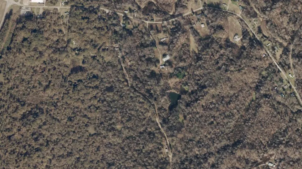
Redwood is an unincorporated community (census-designated place) in Warren County, Mississippi, with 84 residents (2020 Census). It sits at 226 ft (69 m) above sea level. The nearest town is Bovina, 9.2 miles S.
- 84residents (2020 Census)
- 226 ftelevation · 69 m
- 0.7 sq miland area · 1.9 km²
- 112 / sq mipopulation density
- 39183ZIP code
About Redwood
Redwood is a census-designated place and unincorporated community located southeast of Twin Lake in Warren County, Mississippi, United States. The town is located near the junction of U.S. Route 61 and Mississippi Highway 3, approximately 10 miles north of Vicksburg. Its zip code is 39156.
Redwood is best known for being the site of the ancient Fort Saint-Pierre which was built by French colonialists of La Louisiane française in 1719. The French fort was destroyed by Native Americans in 1729.
The town was laid out by Thomas Redwood and was originally marketed as Carthage. By 1850 the settlement had "two stores and a post office" and residences occupied by carpenters and Yazoo River raftsmen.
Redwood was home to the Ballground Plantation, which owned slaves until 1963.
Redwood is part of the Vicksburg Micropolitan Statistical Area.
Per the 2020 Census, the population was 84.
Text: Wikipedia · CC BY-SA 4.0
Redwood weather: 7-day forecast
Loading the National Weather Service forecast…
Source: National Weather Service (NOAA).
Live webcams in Redwood
Webcams: Windy.com
Do you know Redwood? Tell us about it
Help other travelers: share what makes Redwood special. We review every message before publishing it.
Map of Redwood
Tap any street on the map to see it in Street View below. Map: © OpenStreetMap contributors.
Redwood Street View
Drag the image to look around and tap the arrows on the ground to move. If it says there is no imagery, tap a nearby street on the map above.
Open in Google Maps ›Redwood, MS population
Redwood had 84 residents in the 2020 Census.
| 2020 Census | 84 |
|---|---|
| Density | 112 per sq mi (43 per km²) |
Source: U.S. Census Bureau, Decennial Census.
Redwood at a glance
| State | Mississippi (MS) |
|---|---|
| County | Warren County |
| Type | Census-designated place |
| Population | 84 (2020) |
| Land area | 0.75 sq mi (1.9 km²) |
| Elevation | 226 ft (69 m) |
| Coordinates | 32.4735° N, 90.7969° W |
| ZIP code | 39183 |
| Census code (GEOID) | 2861440 |
Sources: U.S. Census Bureau (Gazetteer, ZCTA), USGS GNIS, Wikidata.
Towns near Redwood
- Bovina9.2 mi S
- Beechwood9.5 mi S
- Valley Park11.4 mi N
- Vicksburg11.6 mi SW
- Delta, LA14.0 mi SW
- Eagle Bend14.6 mi W
- Edwards14.8 mi SE
- Mound, LA16.5 mi SW
- Satartia20.1 mi NE
- Bolton21.4 mi E
- Richmond, LA23.1 mi W
- Tallulah, LA23.5 mi W
Straight-line distance between town centers.
Frequently asked questions about Redwood
What county is Redwood in?
Redwood is in Warren County, Mississippi.
What is the population of Redwood, MS?
84 people lived in Redwood at the 2020 Census.
What is the ZIP code of Redwood, MS?
The ZIP code of Redwood is 39183.
What is the elevation of Redwood?
226 feet (69 m) above sea level.
What towns are near Redwood?
Bovina (9.2 mi), Beechwood (9.5 mi), Valley Park (11.4 mi), Vicksburg (11.6 mi), Delta (14.0 mi).
Last updated: