Graymoor-Devondale
City in Jefferson County, Kentucky
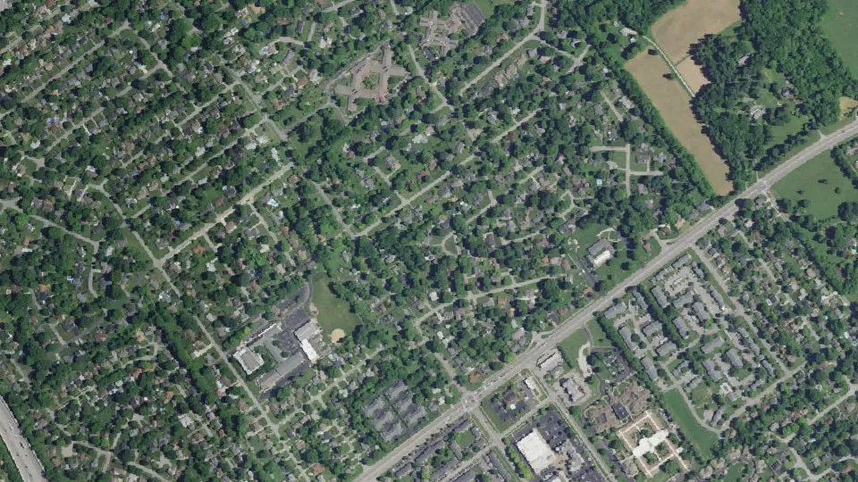
Graymoor-Devondale is a city in Jefferson County, Kentucky, with 2,853 residents (2020 Census). It sits at 587 ft (179 m) above sea level. The nearest town is Crossgate, 0.8 miles NW.
- 2,853residents (2020 Census)
- 587 ftelevation · 179 m
- 0.7 sq miland area · 1.9 km²
- 3,855 / sq mipopulation density
- 40222ZIP code
About Graymoor-Devondale
Graymoor-Devondale is a home rule-class city in Jefferson County, Kentucky, United States. The city is the result of the merger of the former cities of Graymoor and Devondale. As of the 2020 census, Graymoor-Devondale had a population of 2,853.
Text: Wikipedia · CC BY-SA 4.0
Graymoor-Devondale weather: 7-day forecast
Loading the National Weather Service forecast…
Source: National Weather Service (NOAA).
Live webcams in Graymoor-Devondale
Webcams: Windy.com
Living in Graymoor-Devondale
- Median household income
- $96,667
- Median home value
- $338,000
- Median rent
- $1,558/mo
- Median age
- 49.3
Do you know Graymoor-Devondale? Tell us about it
Help other travelers: share what makes Graymoor-Devondale special. We review every message before publishing it.
Map of Graymoor-Devondale
Tap any street on the map to see it in Street View below. Map: © OpenStreetMap contributors.
Graymoor-Devondale Street View
Drag the image to look around and tap the arrows on the ground to move. If it says there is no imagery, tap a nearby street on the map above.
Open in Google Maps ›Graymoor-Devondale, KY population
Graymoor-Devondale had 2,853 residents in the 2020 Census.
| 2020 Census | 2,853 |
|---|---|
| Density | 3,855 per sq mi (1,488 per km²) |
Source: U.S. Census Bureau, Decennial Census.
Graymoor-Devondale at a glance
| State | Kentucky (KY) |
|---|---|
| County | Jefferson County |
| Type | City |
| Population | 2,853 (2020) |
| Land area | 0.74 sq mi (1.9 km²) |
| Water area | 0.00 sq mi (0.00 km²) |
| Elevation | 587 ft (179 m) |
| Coordinates | 38.2732° N, 85.6166° W |
| ZIP code | 40222 |
| Official website | graymoor-devondale.com |
| Census code (GEOID) | 2132523 |
Sources: U.S. Census Bureau (Gazetteer, ZCTA), USGS GNIS, Wikidata.
Towns near Graymoor-Devondale
- Crossgate0.8 mi NW
- Bancroft1.0 mi N
- Thornhill1.1 mi NW
- Woodlawn Park1.1 mi SW
- Old Brownsboro Place1.1 mi N
- Windy Hills1.2 mi W
- Beechwood Village1.3 mi SW
- Briarwood1.4 mi E
- Northfield1.4 mi NW
- Plantation1.4 mi NE
- Norwood1.5 mi S
- Glenview Manor1.5 mi NW
Straight-line distance between town centers.
Frequently asked questions about Graymoor-Devondale
What county is Graymoor-Devondale in?
Graymoor-Devondale is in Jefferson County, Kentucky.
What is the population of Graymoor-Devondale, KY?
2,853 people lived in Graymoor-Devondale at the 2020 Census.
What is the ZIP code of Graymoor-Devondale, KY?
The ZIP code of Graymoor-Devondale is 40222.
What is the elevation of Graymoor-Devondale?
587 feet (179 m) above sea level.
What towns are near Graymoor-Devondale?
Crossgate (0.8 mi), Bancroft (1.0 mi), Thornhill (1.1 mi), Woodlawn Park (1.1 mi), Old Brownsboro Place (1.1 mi).
Last updated: