Saranap
Census-designated place in Contra Costa County, California
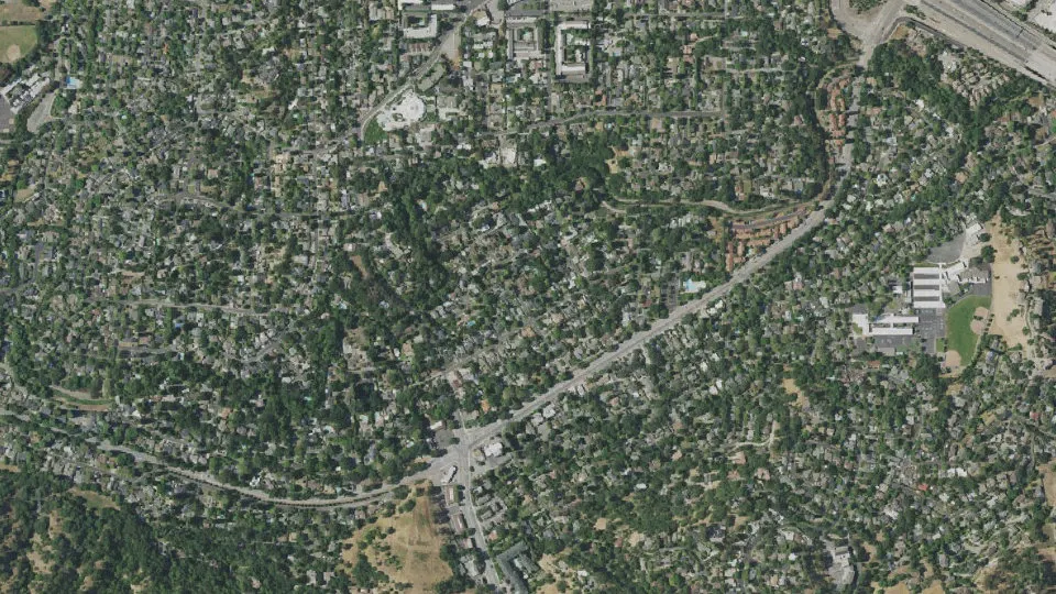
Saranap is an unincorporated community (census-designated place) in Contra Costa County, California, with 5,830 residents (2020 Census). It sits at 180 ft (55 m) above sea level. The nearest town is Acalanes Ridge, 1.2 miles N.
- 5,830residents (2020 Census)
- 180 ftelevation · 55 m
- 1.1 sq miland area · 2.9 km²
- 5,138 / sq mipopulation density
- 94595ZIP code
About Saranap
Saranap (until 1913, Dewing Park) is a residential census-designated place (CDP) within central Contra Costa County, California, United States. Lying at an elevation of 180 feet (55 m), it is bounded on the south and east by portions of Walnut Creek (including the gated senior residential development Rossmoor) and on the north and west by Lafayette. Saranap's ZIP code is 94595, but is addressed "Walnut Creek, CA" for delivery purposes as this is the postal designated city name used by residents. The community is in telephone area code 925. Saranap's population as of the 2020 census was 5,830.
Saranap has had numerous opportunities to be annexed as either part of Lafayette, or of Walnut Creek. These have been largely resisted by the occupants, whose land use is governed by county rules. These include the ability to keep small aviaries and bees, which can be highly restricted by law in surrounding cities, and in newer neighborhoods by restrictive covenants. As the local school district is independent of these city boundaries, and some of the cities impose additional parcel taxes, residents have little incentive to change the status quo. Only a minor addition was made to Lafayette from Saranap in recent decades, adding only one more street and being largely motivated by marginally superior housing values associated with the city of Lafayette.
Text: Wikipedia · CC BY-SA 4.0
Saranap weather: 7-day forecast
Loading the National Weather Service forecast…
Source: National Weather Service (NOAA).
Live webcams in Saranap
All 24 webcams near Saranap ›Living in Saranap
- Median household income
- $157,347
- Median home value
- $1,453,300
- Median rent
- $2,540/mo
- Median age
- 41.5
Do you know Saranap? Tell us about it
Help other travelers: share what makes Saranap special. We review every message before publishing it.
Map of Saranap
Tap any street on the map to see it in Street View below. Map: © OpenStreetMap contributors.
Saranap Street View
Drag the image to look around and tap the arrows on the ground to move. If it says there is no imagery, tap a nearby street on the map above.
Open in Google Maps ›Saranap, CA population
Saranap had 5,830 residents in the 2020 Census.
| 2020 Census | 5,830 |
|---|---|
| Density | 5,138 per sq mi (1,984 per km²) |
Source: U.S. Census Bureau, Decennial Census.
Saranap at a glance
| State | California (CA) |
|---|---|
| County | Contra Costa County |
| Type | Census-designated place |
| Population | 5,830 (2020) |
| Land area | 1.13 sq mi (2.9 km²) |
| Elevation | 180 ft (55 m) |
| Coordinates | 37.8878° N, 122.0761° W |
| ZIP code | 94595 |
| Census code (GEOID) | 0670266 |
Sources: U.S. Census Bureau (Gazetteer, ZCTA), USGS GNIS, Wikidata.
Towns near Saranap
- Acalanes Ridge1.2 mi N
- Castle Hill1.3 mi SE
- San Miguel2.1 mi E
- Walnut Creek2.2 mi NE
- Lafayette2.4 mi W
- Shell Ridge2.6 mi NE
- Contra Costa Centre2.9 mi NE
- Reliez Valley3.9 mi N
- Moraga3.9 mi SW
- Alamo4.1 mi SE
- North Gate4.4 mi E
- Pleasant Hill4.6 mi N
Straight-line distance between town centers.
Frequently asked questions about Saranap
What county is Saranap in?
Saranap is in Contra Costa County, California.
What is the population of Saranap, CA?
5,830 people lived in Saranap at the 2020 Census.
What is the ZIP code of Saranap, CA?
The ZIP code of Saranap is 94595.
What is the elevation of Saranap?
180 feet (55 m) above sea level.
What towns are near Saranap?
Acalanes Ridge (1.2 mi), Castle Hill (1.3 mi), San Miguel (2.1 mi), Walnut Creek (2.2 mi), Lafayette (2.4 mi).
Last updated: