Wittmann
Census-designated place in Maricopa County, Arizona
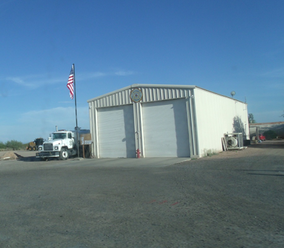
Wittmann is an unincorporated community (census-designated place) in Maricopa County, Arizona, with 684 residents (2020 Census). It sits at 1,683 ft (513 m) above sea level. The nearest town is Circle City, 4.2 miles NW.
- 684residents (2020 Census)
- 1,683 ftelevation · 513 m
- 1.0 sq miland area · 2.5 km²
- 709 / sq mipopulation density
- 85361ZIP code
About Wittmann
Wittmann is an unincorporated community and census-designated place (CDP) in Maricopa County, Arizona, United States. As of the 2020 census, it had a population of 684, down from 763 in 2010. It is located along U.S. Route 60 in the central part of Arizona, 35 miles (56 km) northwest of central Phoenix, and is part of the Phoenix metropolitan area, although just outside the urban portion.
A variant name was "Nadaburg"; the present name is for Joseph Wittmann and his wife Eleanor van Beuren Wittmann, a couple who attempted several times to get approvals to build a dam project in nearby Box Canyon that would have benefitted the town. This was to be a successor to the poorly engineered Walnut Grove dam that had collapsed in February 1890, less than two years after it had filled. Eleanor van Beuren's father was the nominal head of a group of East Coast investors that had funded what was then primarily a placer mining project. One of the Walnut Grove Water Storage Company's engineers (not responsible for the design) was Lieutenant Colonel Alexander Oswald Brodie, who was later appointed Arizona's territorial governor.
Governmental approval and adequate funding lacking, the replacement dam project plans faltered. A long-projected time for repayment of supplemental government funding killed Joseph Wittmann's project in the 1940s, leaving promises to Maricopa County families broken.
The naming of nearby Morristown also refers to the Wittmann and van Beuren families, for they had residences in Morristown, New Jersey.
Text: Wikipedia · CC BY-SA 4.0
Wittmann weather: 7-day forecast
Loading the National Weather Service forecast…
Source: National Weather Service (NOAA).
Live webcams in Wittmann
Webcams: Windy.com
Living in Wittmann
- Median home value
- $236,900
- Median age
- 48.5
Do you know Wittmann? Tell us about it
Help other travelers: share what makes Wittmann special. We review every message before publishing it.
Map of Wittmann
Tap any street on the map to see it in Street View below. Map: © OpenStreetMap contributors.
Wittmann Street View
Drag the image to look around and tap the arrows on the ground to move. If it says there is no imagery, tap a nearby street on the map above.
Open in Google Maps ›Wittmann, AZ population
Wittmann had 684 residents in the 2020 Census.
| 2020 Census | 684 |
|---|---|
| Density | 709 per sq mi (274 per km²) |
Source: U.S. Census Bureau, Decennial Census.
Wittmann at a glance
| State | Arizona (AZ) |
|---|---|
| County | Maricopa County |
| Type | Census-designated place |
| Population | 684 (2020) |
| Land area | 0.96 sq mi (2.5 km²) |
| Elevation | 1,683 ft (513 m) |
| Coordinates | 33.7750° N, 112.5251° W |
| ZIP code | 85361 |
| Census code (GEOID) | 0484140 |
Sources: U.S. Census Bureau (Gazetteer, ZCTA), USGS GNIS, Wikidata.
Towns near Wittmann
- Circle City4.2 mi NW
- Morristown7.5 mi NW
- Surprise8.3 mi SE
- Peoria10.8 mi E
- Sun City West12.0 mi SE
- El Mirage17.1 mi SE
- Citrus Park17.3 mi S
- Sun City17.7 mi SE
- Youngtown18.2 mi SE
- Wickenburg20.2 mi NW
- Litchfield Park21.1 mi SE
- Anthem23.4 mi E
Straight-line distance between town centers.
Frequently asked questions about Wittmann
What county is Wittmann in?
Wittmann is in Maricopa County, Arizona.
What is the population of Wittmann, AZ?
684 people lived in Wittmann at the 2020 Census.
What is the ZIP code of Wittmann, AZ?
The ZIP code of Wittmann is 85361.
What is the elevation of Wittmann?
1,683 feet (513 m) above sea level.
What towns are near Wittmann?
Circle City (4.2 mi), Morristown (7.5 mi), Surprise (8.3 mi), Peoria (10.8 mi), Sun City West (12.0 mi).
Last updated: